


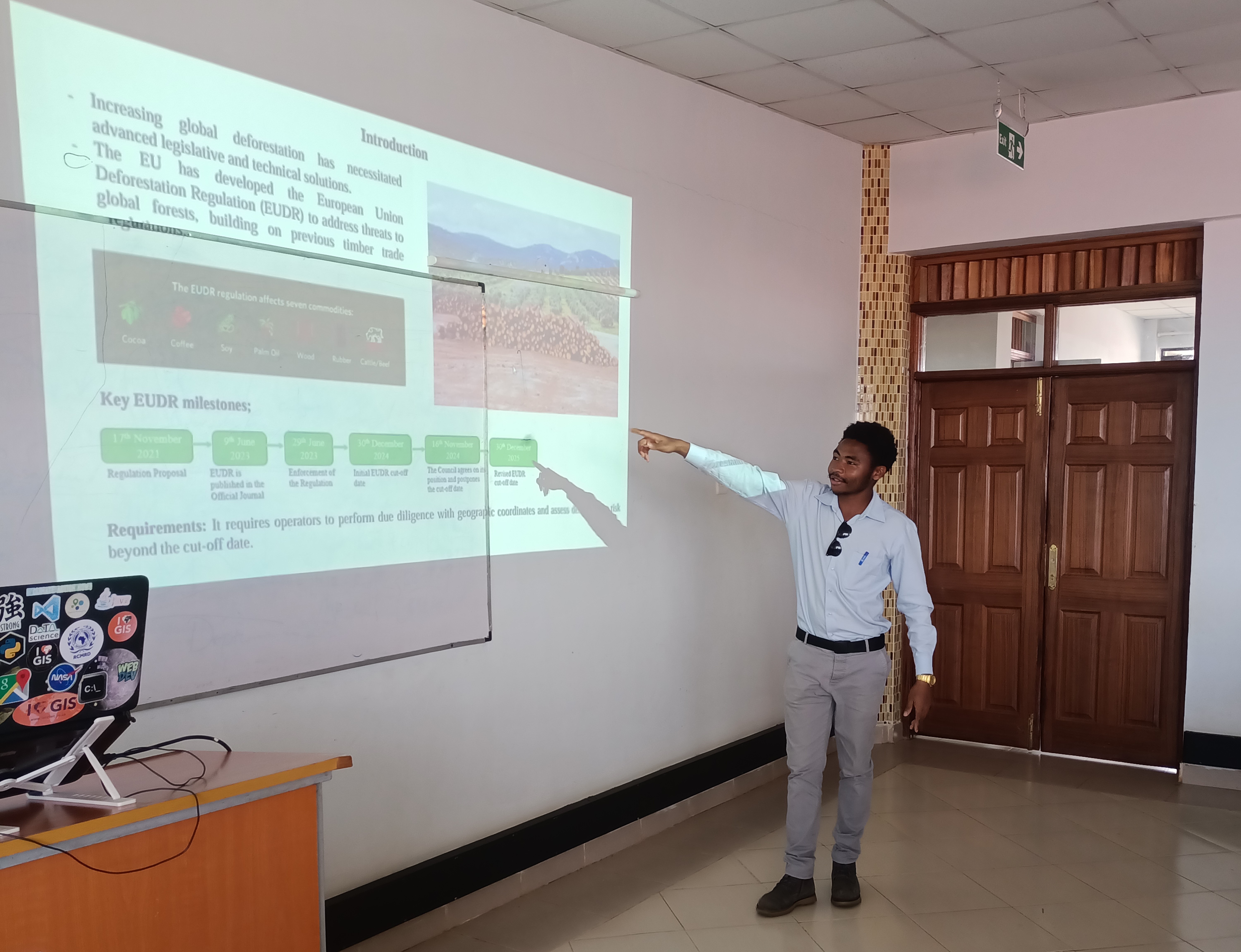

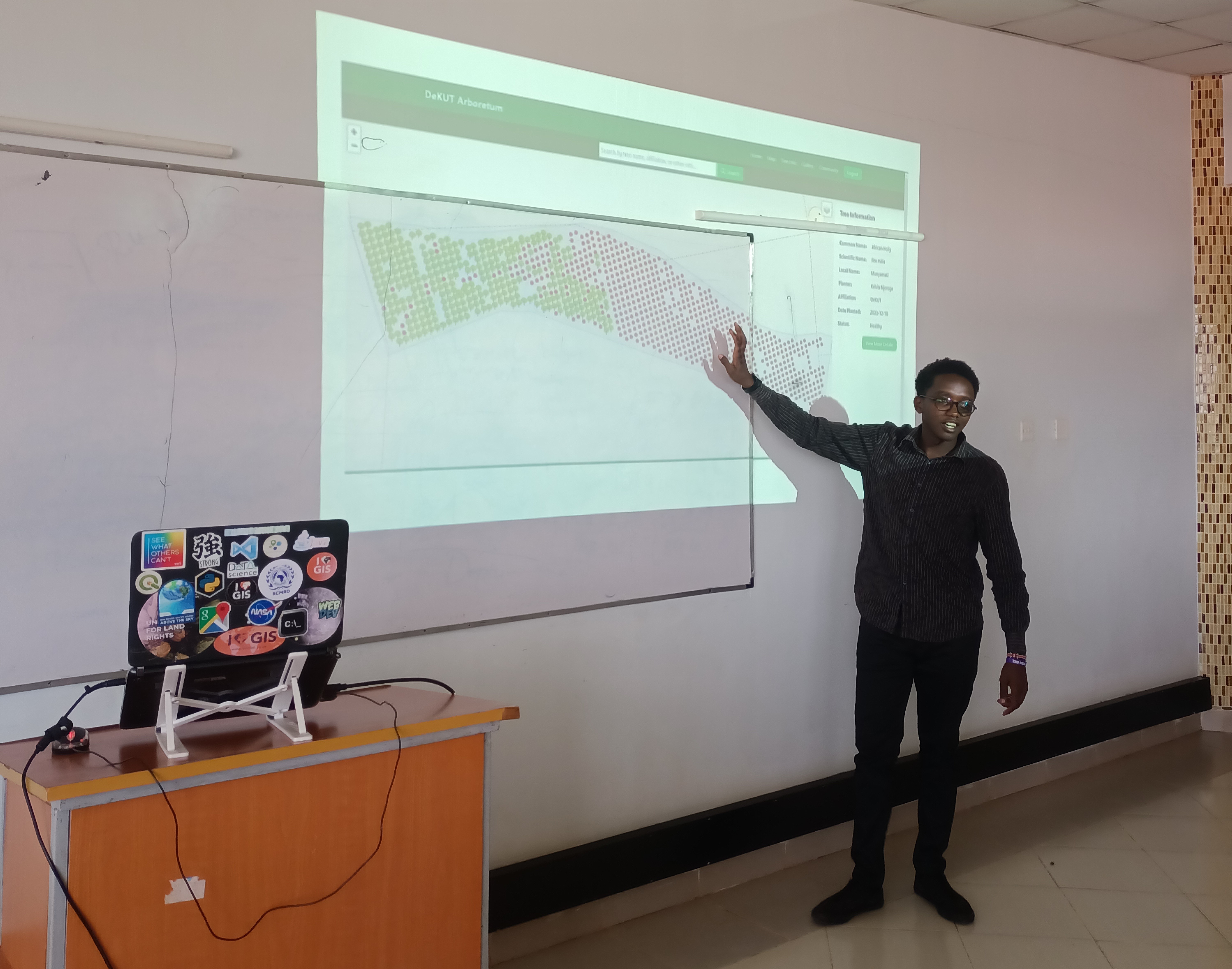

The university maintains its commitment to innovation through science and technology as a fundamental value. Through the Remote Sensing Research Group (RSRG), which operates within the Institute of Geomatics, GIS and Remote Sensing (IGGReS), ongoing scientific explorations focus on integrating advanced technologies into both educational frameworks and conservation initiatives. Through the MC2FM project titled; “Participatory approach to Climate Change Mitigation and Forest Restoration in the Muringato Catchment” the RSRG team has been working with various stakeholders within the Muringato catchment area towards various environmental conservation efforts. To understand the various works ongoing under this project, a one-day workshop on the 3rd March 2025 held at DeKUT was organized by the project teams from Dedan Kimathi University of Technology (DeKUT) and Ruhr University Bochum (RUB). The event featured oral presentations on ongoing research projects where team members shared innovative approaches and findings, sparking insightful discussions on challenges and future directions. The workshop highlighted the project teams’ commitment to leveraging remote sensing and geospatial technologies to address critical global issues in agriculture, forestry, and climate resilience..